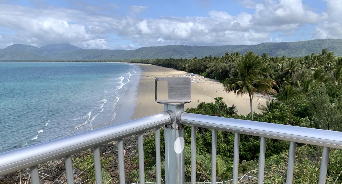
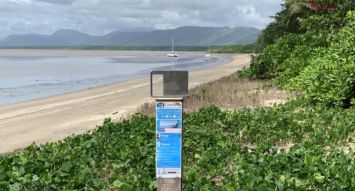
4 Mile Beach
4 Mile Beach, Port Douglas is a sandy beach ridge system that extends from Craiglie to the Port Douglas rocky headland (Flagstaff Hill). The CoastSnap beach monitoring is situated at the viewing platform on the stairs at the beginning of the Flagstaff hill walking trail. You can access the Flagstaff Hill walking trail from Jalun Park, located at the intersection of Macrossan Street and Esplanade. The beach monitoring site is fixed to the fencing at the viewing platform and overlooks 4 Mile beach.
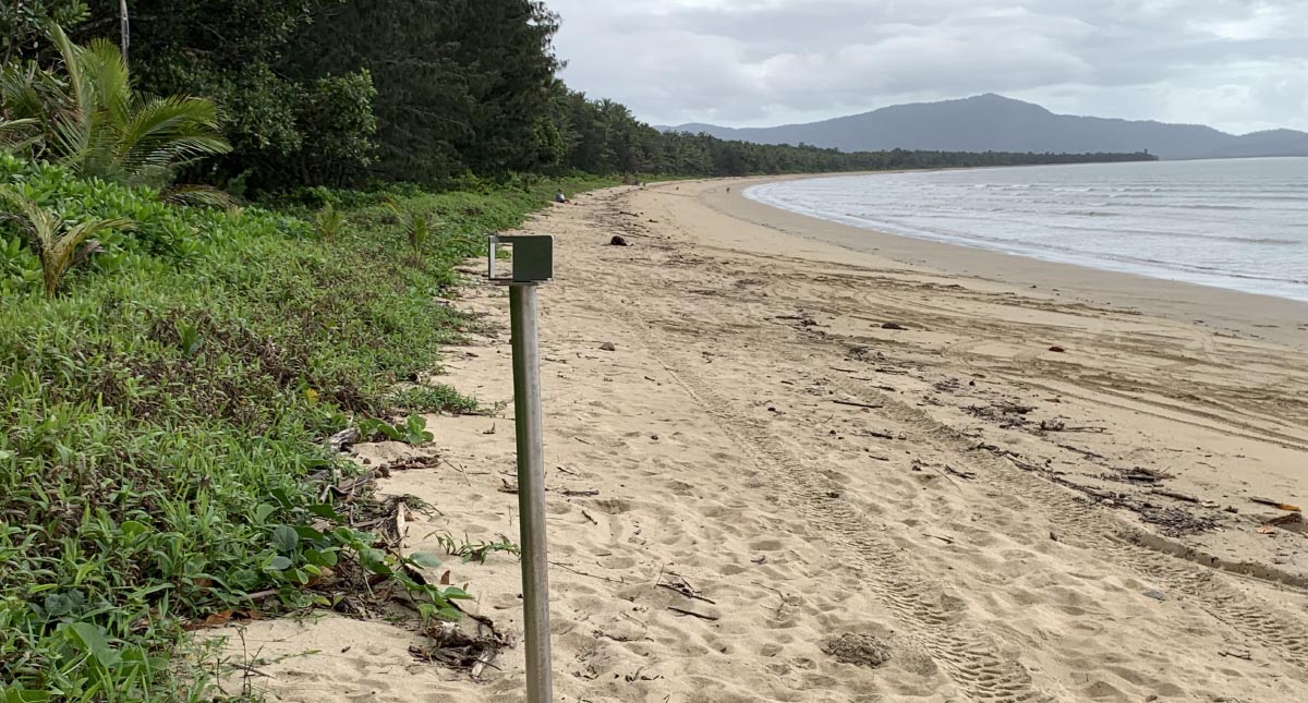
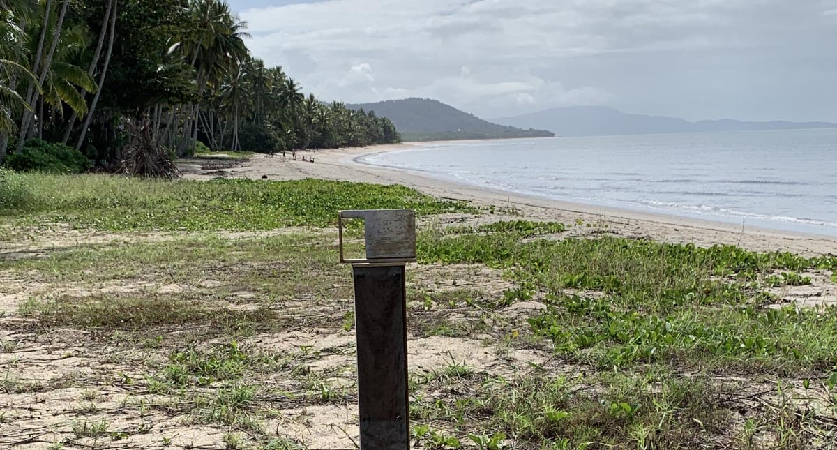
Wonga Beach
Wonga Beach is a broad sandy embayment that extends south from the Daintree River mouth. The sandy embayment is a beach ridge system that is backed by the Dagmar Ranges which is a pocket of the Daintree National Park. The CoastSnap beach monitoring site is located at the end of Wonga Beach Road, where the Wonga Beach esplanade starts. Access the beach via the boat launching and retrieval access. The monitoring site is located 5m to the north (left) of the access point in front of the Wonga Beach Caravan Park.
Newell Beach
Newell Beach is situated between the estuary systems of Saltwater Creek (to the north) and Mossman River (to the south). Changes to the shoreline and coastal processes along the beach at Newell, occur due to the dynamic Mossman River mouth. The CoastSnap beach monitoring site can be accessed by the beach access track at the intersection of Newell Beach Road and Marine Parade. The beach monitoring site is located approximately 200m south (right) along the beach.
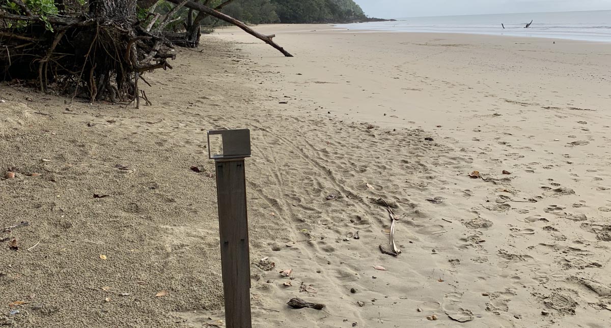
Cooya Beach
Cooya Beach is situated to the south of the Mossman River estuary and is the last section of sandy beach which then transitions to an extensive estuarine mangrove system. The CoastSnap beach monitoring site can be accessed at the beach access track located at the south of the coconut grove opposite 29 Bougainvillea Street. The beach monitoring site is to he south (left) as you access the beach.
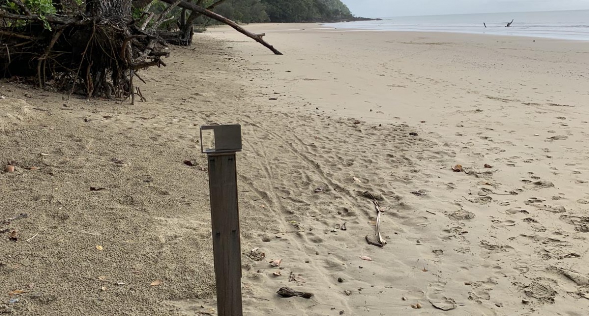
Cow Bay
Cow Bay is located in the Cape Tribulation section of the Daintree National Park. Cow Bay Beach is located at the end of Buchanan Creek Road. Cow Bay beach is a small sandy embayment with headlands to the north and south. The CoastSnap beach monitoring site is located on the left at the bottom of the main beach access ramp.