
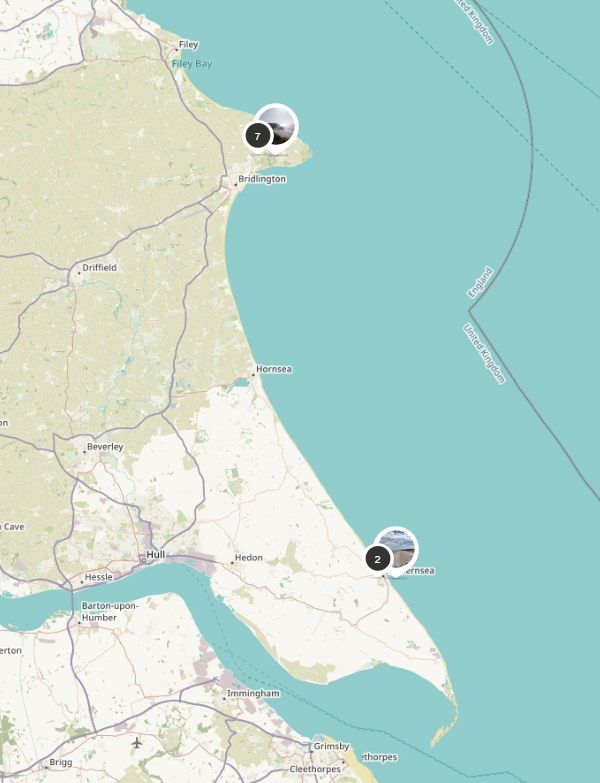
Bempton to Sewerby
A trail of 12 CoastSnap sites starts at Bempton RSPB Cliffs and circles Flamborough Head to Sewerby Hall. Take a CoastSnap at each of the 12 locations, or cherry-pick individual sites using the Grid Reference locations listed for each:
RSPB Bempton Cliffs #bemptonpuffin Grid Reference: 54.147248,-0.163881
Thornwick Bay, Flamborough #thornwickprimrose Grid Reference: 54.133234,-0.122076
Flamborough North Landing Cliff #flamboroughchalk Grid Reference: 54.130458,-0.10739
Flamborough North Landing Cove #flamboroughcove Grid Reference: 54.129433,-0.103936
Selwicks Bay, Flamborough #selwicksbaygorse Grid Reference: 54.119704,-0.08423
Flamborough Drinking Dinosaur #flamboroughtrex Grid Reference: 54.115311,-0.07678
Flamborough Sculptures (South Landing) #flamboroughseal Grid Reference: 54.104935,-0.115411
Flamborough Clifftop Walk (South Landing) #flamboroughlifeboat Grid Reference: 54.10445,-0.118584
Danes Dyke Beacon Hill (North) #beaconhillwhale Grid Reference: 54.104611,-0.128564
Danes Dyke #danesdykefinch Grid Reference: 54.104584,-0.141349
Danes Dyke South #danesdykepeacock Grid Reference: 54.104126,-0.143097
Sewerby Hall #sewerby ahoy / #sewerbydolphin Grid Reference: 54.100488,-0.161217
From our Bempton Cliffs post, you can view the famous chalk cliffs which are home to numerous seabird colonies
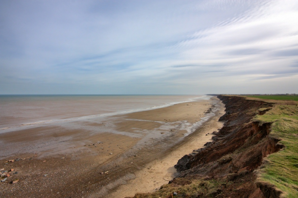
The chalk cliffs of the Bempton Reserve are an ideal habitat for a huge range of seabirds. However, their chalk composition makes them extremely susceptible to coastal erosion.
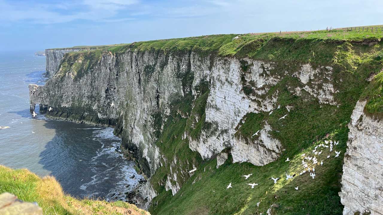
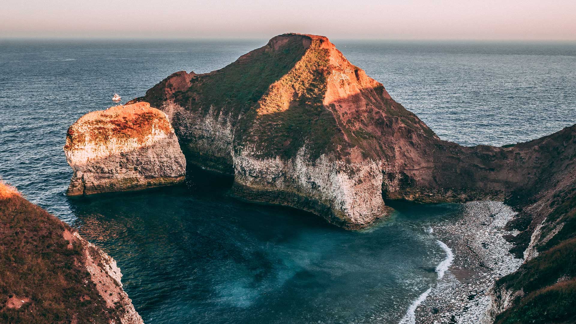
The coastline around Flamborough Head is a mixture of rugged white cliffs, with multiple coves and beaches formed as the sea has eroded the chalk cliffs. Under the waves, the area supports such a huge variety of life in the undersea kelp forests and chalk reefs.
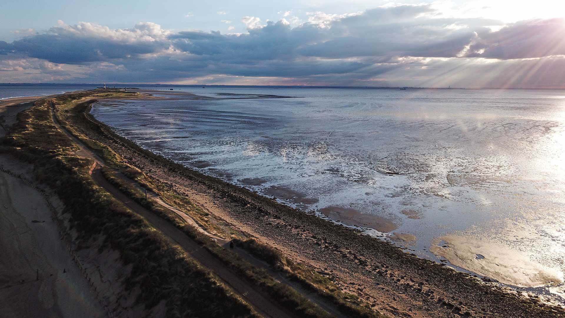
Spurn Point
Spurn Point is a constantly moving peninsula – a narrow spit of land which forms a tidal island. It curves out from the mainland for three miles between the North Sea and the Humber Estuary. The landscape is unique and ever-changing, at the mercy of tides and storms.
Discover the 6 photo posts installed along Spurn Point from Kilnsea to Spurn Lighthouse and marvel at the sandy spit of land protruding into the Humber Estuary. Take a CoastSnap at each location and help us gather data on this ever-changing coastline.
Kilnsea #spurnbinoculars Grid Reference: 53.620243,0.14138
Spurn Windfarm View #spurnwindmill Grid Reference: 53.611807,0.144334
Spurn Washover #spurndunlin Grid Reference: 53.598062,0.14447
Spurn Oysters #spurnoysters Grid Reference: 53.593966,0.140426
Spurn Ravernser Odd #spurnseaholly Grid Reference: 53.581218,0.120529
Spurn Lighthouse #spurnlighthouse Grid Reference: 53.578738,0.118578
Withernsea
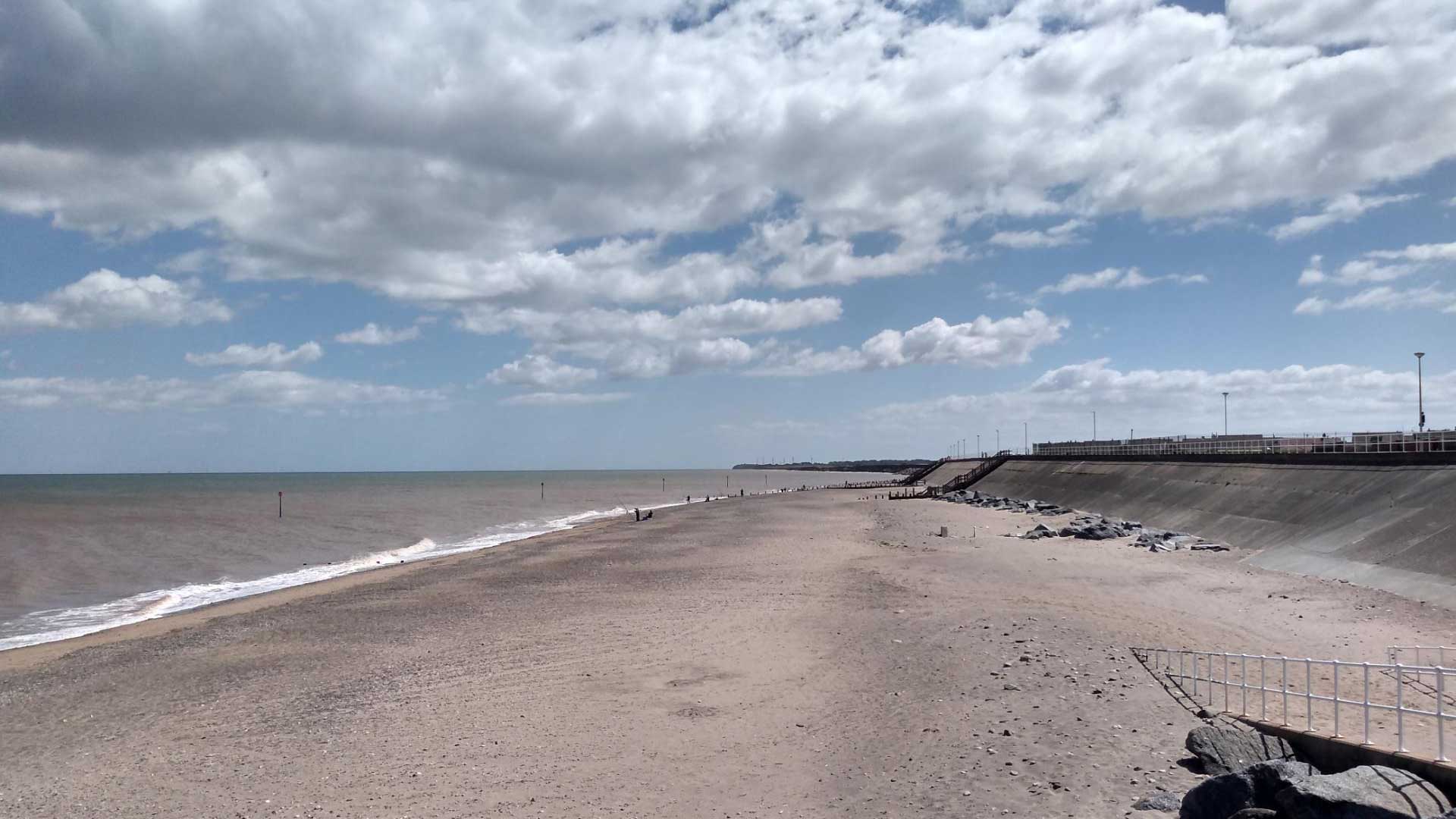
Take your CoastSnap at each of the 4 photo posts installed along Withernsea’s seafront and help record changes to this stretch of coastline, known for being one of the fastest eroding in Europe.
Withernsea North #withernseadragonfly Grid Reference: 53.737616,0.027284
Withernsea Pier #withernseapier Grid Reference: 53.730716,0.035763
Withernsea Lifeboat #withernsealifeboat Grid Reference: 53.726135,0.041006
Withernsea Rocks #withernsearocks Grid Reference: 53.722146,0.043969
Hornsea to Mappleton
Take your CoastSnap at each of the 4 photo posts installed along Hornsea’s seafront, ending at Mappleton and help record changes to this stretch of coastline, known for being one of the fastest eroding in Europe. Mappleton was formerly a Ministry of Defence bombing range and old armaments are often revealed as the cliffs erode.
(Photo: Paul Lakin, License: CC3.0 Unported)
Hornsea North #hornseakittiwake Grid Reference: 53.919321,-0.163255
Hornsea Marine Flower #hornseamarineflower / #hornseasamphire Grid Reference: 53.91668,-0.161607
Hornsea South #hornsearazorbill Grid Reference: 53.906385,-0.157028
Mappleton #walkingtonpost / #mappletonfossil Grid Reference: 53.875903,-0.133814