Welcome to the University of Hull CoastSnap Network
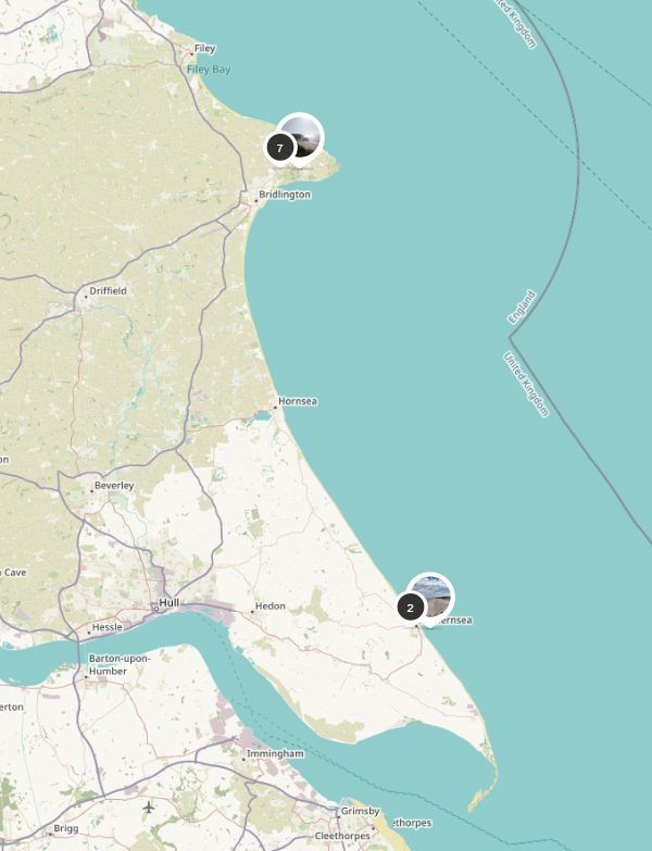
The University of Hull is working with the East Riding of Yorkshire Council and other stakeholders to establish a community monitoring network around the shores of our region. We have installed 27 CoastSnap monitoring stations in locations around the county, to enable community members to capture how our dynamic world is changing over time using their smartphones. These stations are located in clusters around Bempton, Flamborough and Sewerby; around Hornsea; around Withernsea; and at Spurn Point.
Participating in this program is a snap - all you need to do is download the CoastSnap App (available from Apple and Android App Stores) and visit one of the CoastSnap locations. Each one has a camera cradle, specifically designed to control the position of your photo. By using something called Photogrammetry, scientists can use your photos to make maps at an accuracy similar to that of professional survey team. As more and more photos are taken, your snaps provide a powerful record to enable researchers to understand how our coastline is changing due to processes such as storm surges, sea level rise and human factors.
The more photos we have of a particular location, the better our understanding becomes of how environments, such as coastlines, are changing over time, and thus helping communities, local government and stakeholders to better manage these valuable environments.
Your snaps form part of the global network of CoastSnap stations with over 100 stations worldwide. Simply put your smartphone in the camera cradle and take a snap, it's that easy!
![]()

There are currently 27 CoastSnap locations within the East Riding of Yorkshire, with more in the pipeline.
Check out the latest CoastSnaps provided by our community scientists at the 27 monitoring stations in the East Riding of Yorkshire.
Visit this University of Hull website for more information about each location, walking trails and inspiration for family activities.