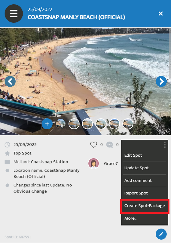
Choose the option “Create Spot-Package” and confirm the download.The data of the spot (as a csv) and all images belonging to the spot get downloaded now.

Mitchell
Tuesday, 27 September 2022 01:04
How to bulk download CoastSnap images
The data of the project can be downloaded for free. For technical reasons, a user account is needed. You are not obliged to collect data yourself to be able to download the data.
The following steps can be carried out here. For questions, send an e-mail to This email address is being protected from spambots. You need JavaScript enabled to view it..
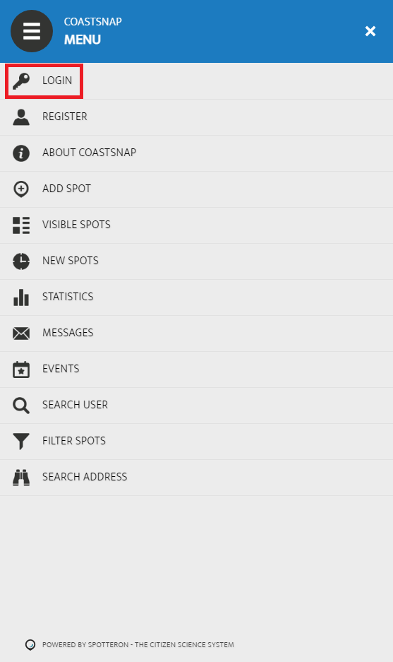
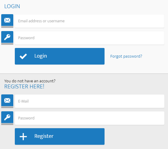
Click on “Login” to login or register. If you already have an account for a citizen science project on the Spotteron platform, you can use this account to login.
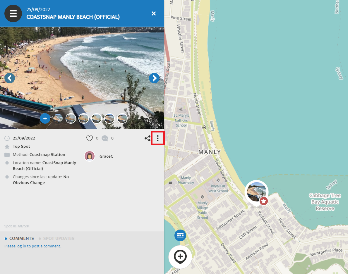
On the map, navigate to your spot of interest. Click on the spot and you will see the last observation. Open the options by clicking on the three vertical dots.
Published in
Data overview
Tagged under
Tuesday, 27 September 2022 00:44
Publications

For a general overview of the CoastSnap project, please refer to the following publication that was published in a special issue on community outreach initiatives in the scientific journal Continental Shelf Research:
For more specific technical details about how CoastSnap images can be used by scientists and engineers to map shoreline change, please refer to:
Published in
Data overview
Tagged under
Tuesday, 27 September 2022 00:28
Data Overview

Please see the drop down menus above for various options to download CoastSnap data
Published in
Data overview
Tagged under
Thursday, 01 September 2022 07:15
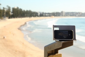
Our CoastSnap Sites
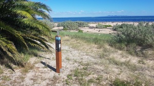
CoastSnap is installed in ten different locations around Port Phillip Bay
Published in
Welcome to the Port Phillip Bay CoastSnap Network!
Tagged under
Thursday, 01 September 2022 07:15
Latest CoastSnaps
Check out the latest CoastSnaps provided by our community scientists at the ten monitoring stations around Port Phillip Bay! If you wish to browse the complete record of snaps at each site, simply click on one of the snaps and it will take you to the CoastSnap map.
Published in
Welcome to the Port Phillip Bay CoastSnap Network!
Tagged under
Thursday, 01 September 2022 07:15
Timelapse Movies
Check out the latest timelapse movies provided by our community scientists at the ten monitoring stations around Port Phillip Bay!
Published in
Welcome to the Port Phillip Bay CoastSnap Network!
Tagged under
Sunday, 11 July 2021 06:53
80,000 snaps
We have reached 80,000 CoastSnaps! Thank you to everyone for your ongoing participation in helping to track changing coastlines!
Published in
Shortnews
Tagged under
Sunday, 07 March 2021 00:30
Timelapse Movies

Check out the latest timelapse movies provided by our community scientists at the five monitoring stations in Douglas Shire!
Published in
Welcome to the Douglas Shire CoastSnap Network!
Tagged under
Sunday, 07 March 2021 00:30
Latest CoastSnaps

Check out the latest CoastSnaps provided by our community scientists at the five monitoring stations in Douglas Shire! If you wish to browse the complete record of snaps at each site, simply click on one of the snaps and it will take you to the CoastSnap map.
Published in
Welcome to the Douglas Shire CoastSnap Network!
Tagged under
Friday, 19 February 2021 04:42
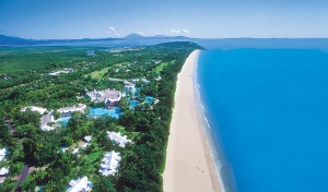
Our CoastSnap Sites
CoastSnap is installed in five different locations within Douglas Shire.
Published in
Welcome to the Douglas Shire CoastSnap Network!
Tagged under