CoastSnap Spain

CoastSnap Spain network works together in the initiative “Centinelas de la Costa,” co-funded by the Fundación Española para la Ciencia y la Tecnología - Ministerio de Ciencia e Innovación (FECYT) and is coordinated by different partners (research institutions and universities) that falls within the line of citizen science to involve society in R+D+i processes.
The University of Cádiz
![]()
The University of Cadiz (UCA) was founded in 1979 and currently hosts more than 1,100 researchers and over 20,000 students per year, offering more than 100 degrees, ranging from graduate to official master's degrees in all fields of learning. The research and innovation activities are one of the pillars of the UCA, with 169 research teams divided into 9 main areas.
CoastSnap Cádiz
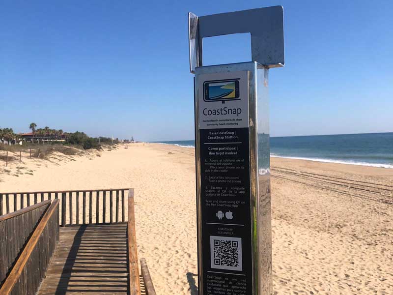
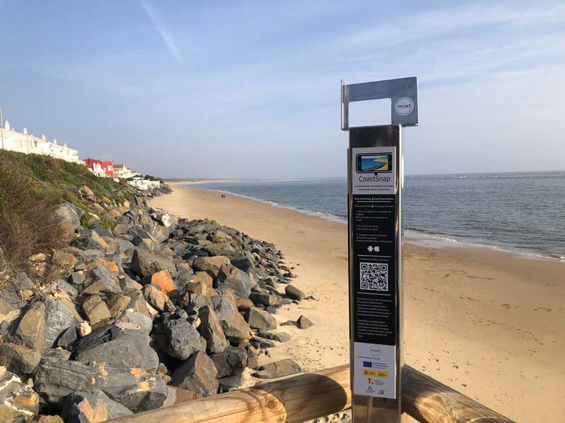
The UCA is involved in CoastSnap project since 2020, when the first CoastSnap station in south Spain (“CoastSnap Cadiz”) was installed in Santa Maria del Mar beach, an urban beach in Cadiz city, with the support of the Vice-Rectorate for Science and Technology of UCA and Cadiz city council. The scientific responsible of the station is the Coastal Geomorphology Research Group, belonging to the Faculty of Marine and Environmental Sciences.
CoastSnap Cadiz station is located on a natural headland at the seafront, in Plaza de la Estrella.
Citizens can share their photos of the beach on social media using the hashtag #coastsnapcadiz, or alternatively, they can send the photos to the research team by email (This email address is being protected from spambots. You need JavaScript enabled to view it.).
A promotional video of the station (in Spanish) is available on Youtube:
Locations:
The University of Vigo and The Marine Research Center
![]()
The University of Vigo (UVigo) was founded in 1990 and it has progressively increased the quality of its scientific research and investments in research infrastructure. UVigo employs 2,400+ faculty and researchers and 1,000+ administrative and support staff, and educates 23,000+ students. The Marine Research Center of Universidade de Vigo (CIM-UVigo) is constituted by more than 230 people distributed in 15 research groups. CIM scientific priorities are Climate change and Marine biotechnology, at its main areas of specialization are: Biodiversity and ecosystem services, aquaculture and sustainable use of resources, integrated coastal zone management, global change and pollution and renewable energies and new resources.
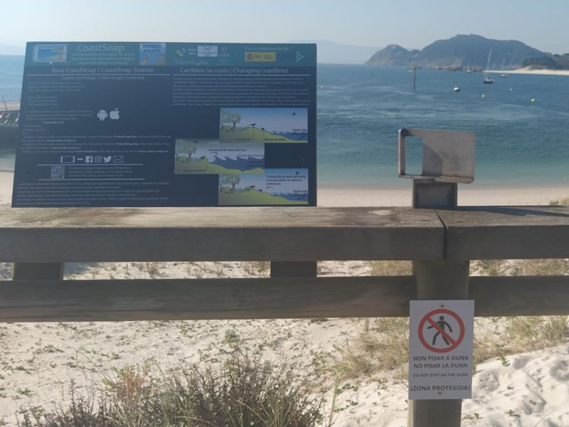
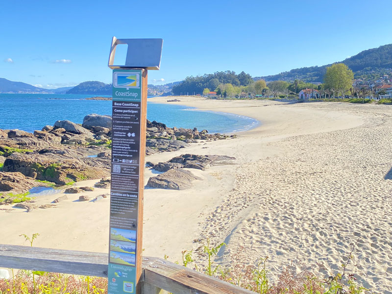
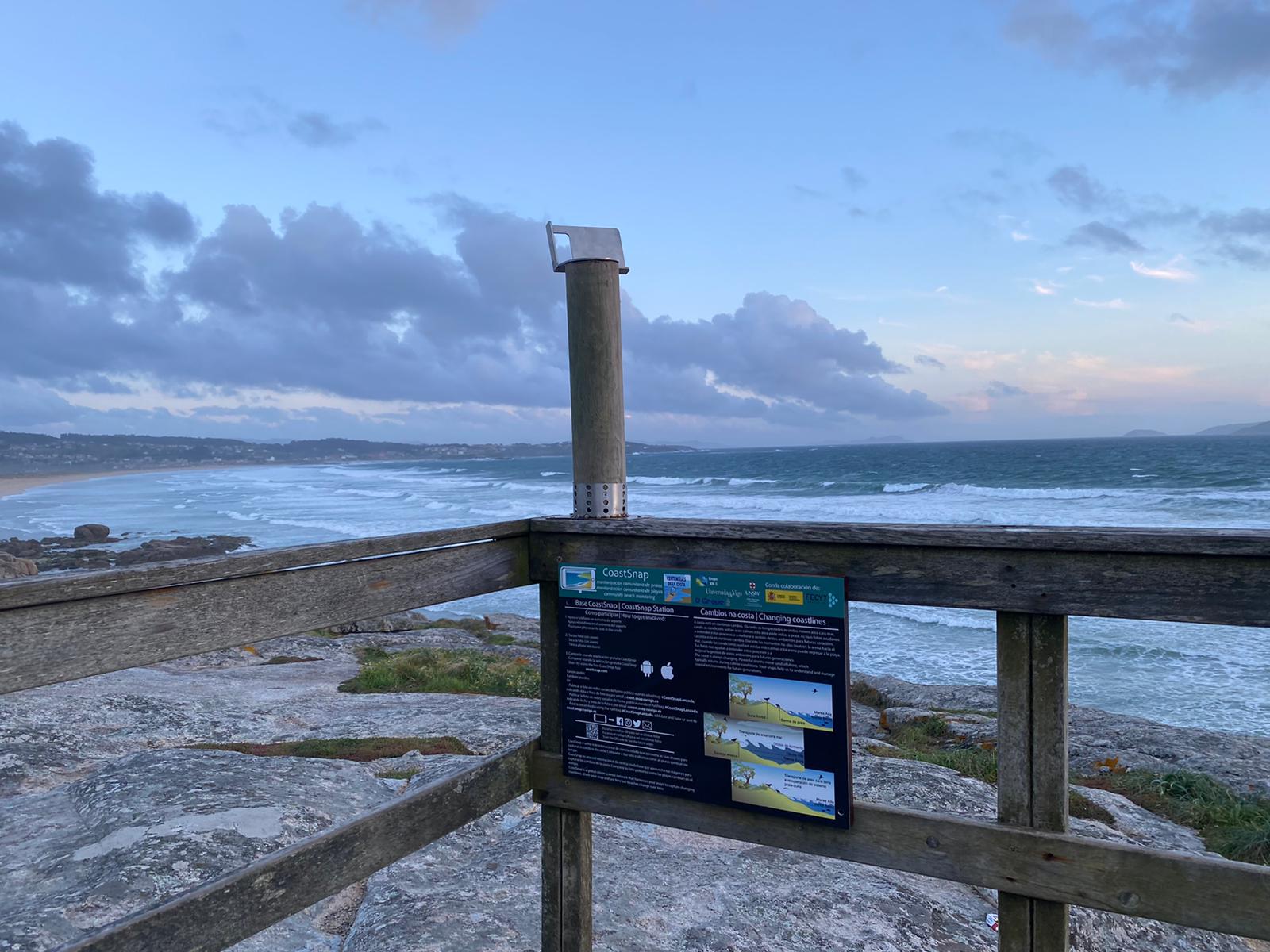
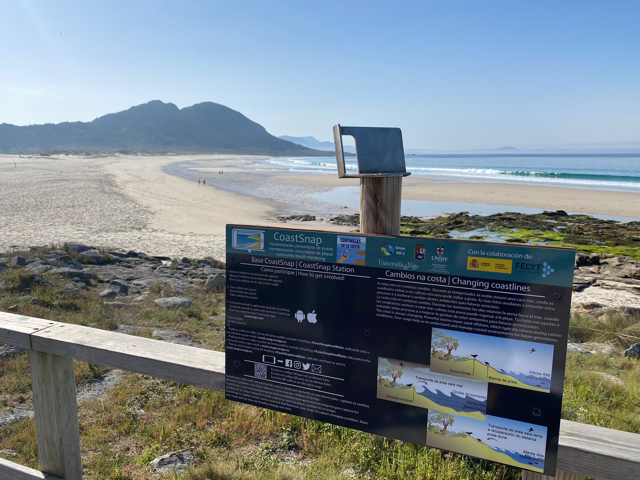
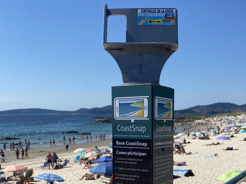
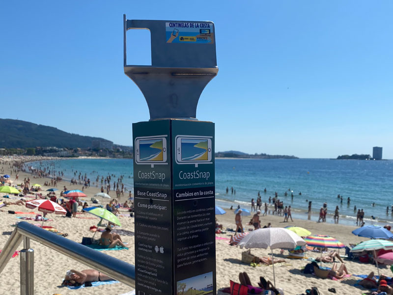
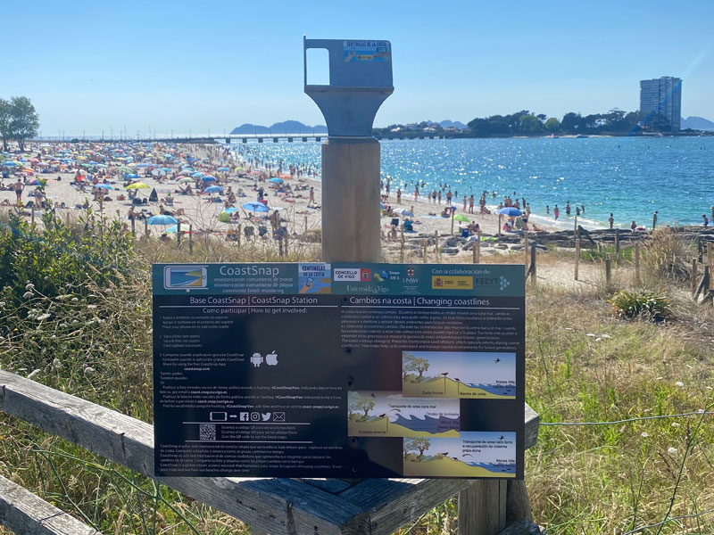
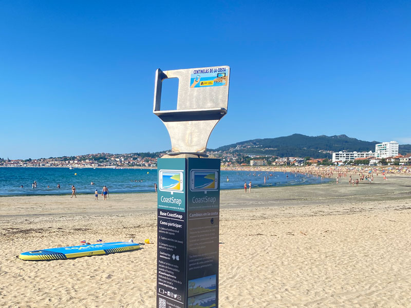
CoastSnap Galicia
The CIM-Uvigo is involved in CoastSnap project since 2018, when the first station in northwest Spain (“CoastSnap Cies”) was installed in Cies Island (National Park). Three more stations were installed in 2019 (“CoastSnap Agrelo” and “CoastSnap Lanzada”) and in 2020 (“CoastSnap Area Maior”). Citizens can share their photos of the beaches in the social media using the hashtag #coastsnapcies, #coastsnapagrelo, #coastsnaplanzada or #coastsnapareamaior respectively, or they can send the photos to the research team by email (This email address is being protected from spambots. You need JavaScript enabled to view it.).
Locations:
Balearic Islands Coastal Observing and Forecasting System (SOCIB)

The Balearic Islands Coastal Observing and Forecasting System (SOCIB) was created in 2007 to advance knowledge, understanding, and sustainable management of the global ocean and the Mediterranean Sea. Since 2011, operates an observing and forecasting system that continuously monitors the Western Mediterranean Sea, collecting data through multiple platforms, including integral beach monitoring systems. In particular, SOCIB's Beach Monitoring facility uses different approaches-instruments to monitor and characterize coastal processes, contributing to state-of-the-art of near-shore research, coastal engineering, and beach sustainability through the study of physical processes related to beach morphodynamic variability and trends in the Balearic Islands.
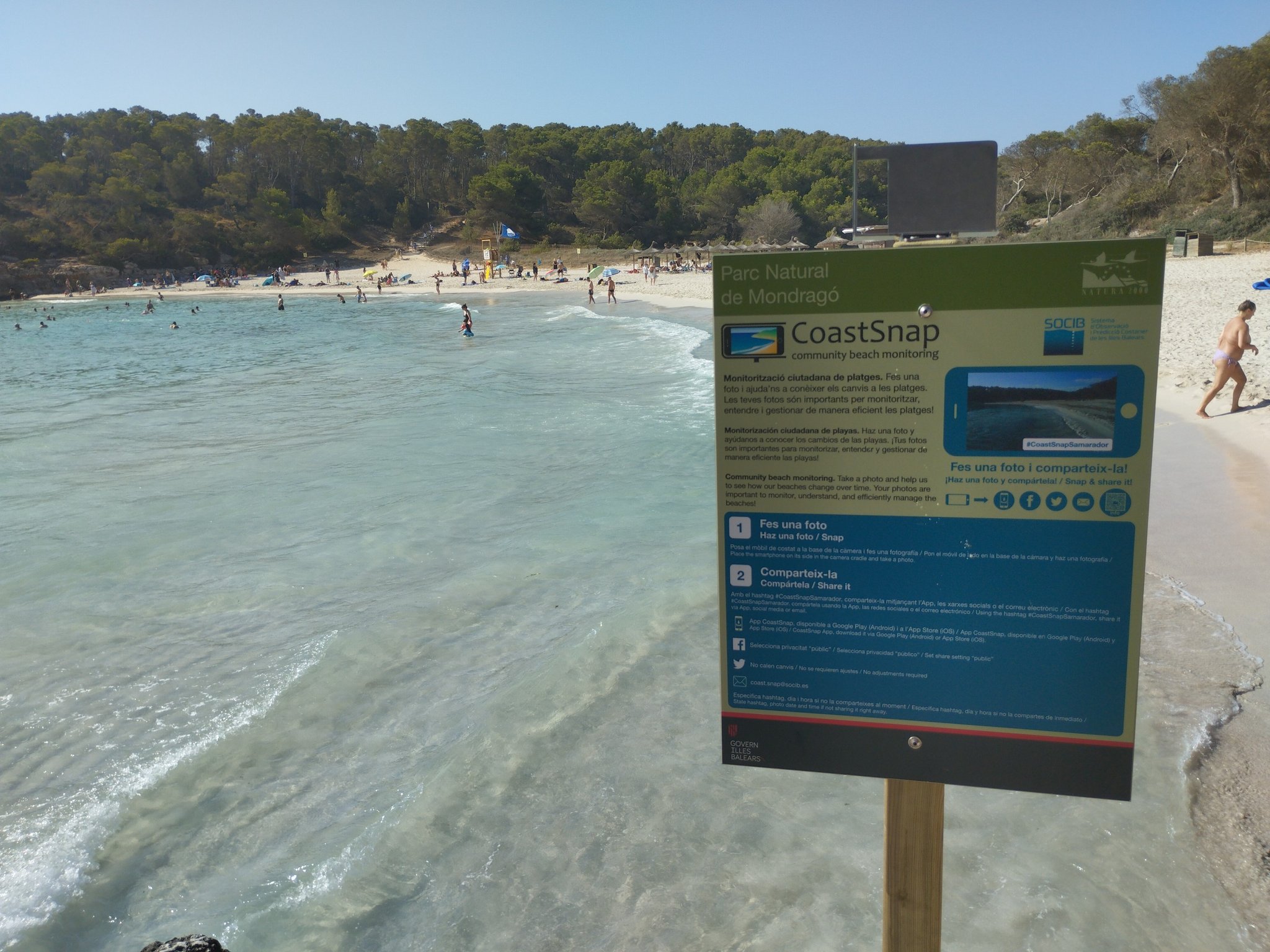
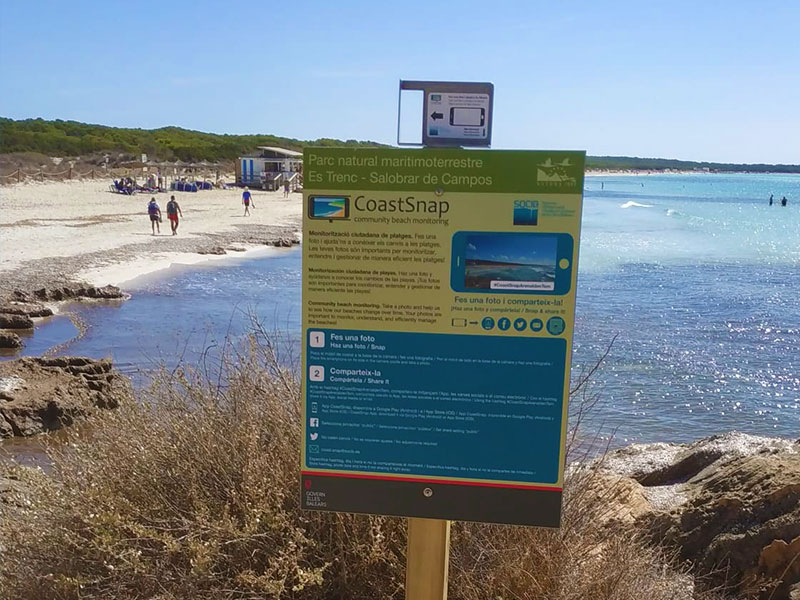
CoastSnap Balears
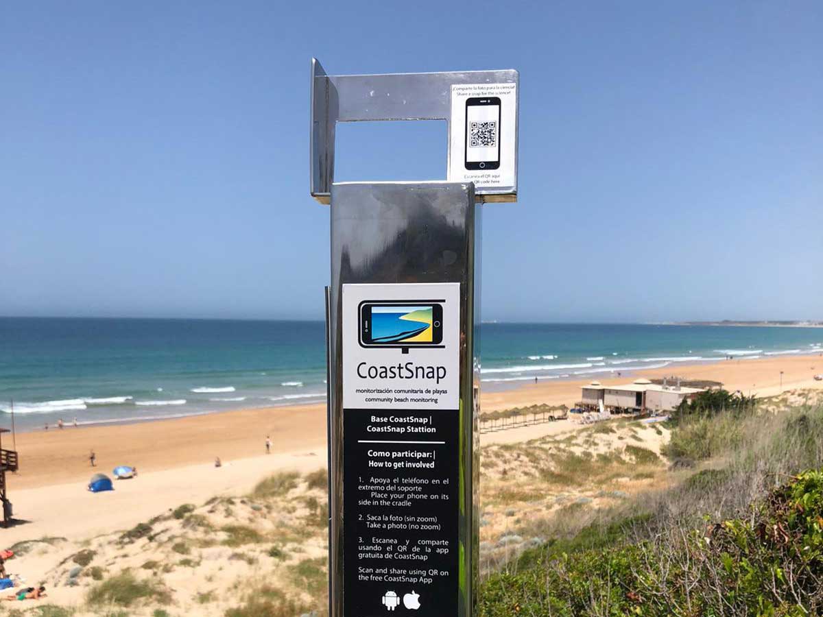
The SOCIB has been involved in the CoastSnap project since July 2022, when the first station was installed in S'Amarador beach (Mondragó Natural Park, Mallorca, Balearic Islands) in cooperation with the Environment and Territory Council and the European Funds, University and Culture Council of the Balearic Government. A second station was installed two months later in S'Arenal d'En Tem beach (Es Trenc-Salobrar de Campos Natural Park, Balearic Islands). Citizens can share their photos of the beaches on social media using the hashtag #coastsnapsamarador or #coastsnaparenaldentem respectively, or send them by email to This email address is being protected from spambots. You need JavaScript enabled to view it..
Locations:
Institut de Ciénces del Mar (CSIC)
![]()
The Institute of Marine Sciences (CSIC), in Barcelona, has more than 20 years of experience in coastal video monitoring. The team is responsible for the installation of the first ARGUS system on the peninsula (in Barcelona) (https://coo.icm.csic.es/es). The team members have participated or are responsible for the creation of the SIRENA and ULISES software for image acquisition and analysis. His works include methodological aspects (e.g., automatic shoreline acquisition, bathymetric inversion) as well as analysis of the morphodynamic response of the beach to different forcings (erosion, rotation,...) and its evolution at different time scales using both observations on-site and remote.
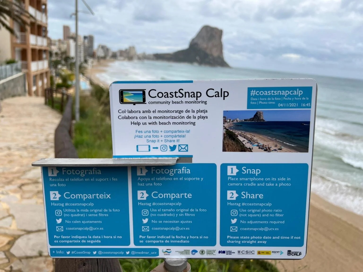
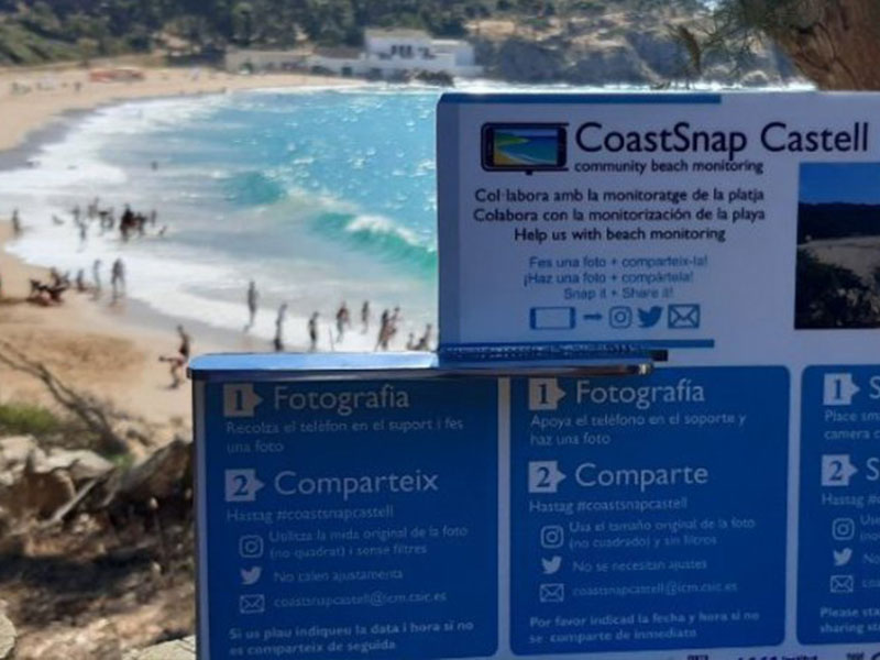
CoastSnap Barcelona
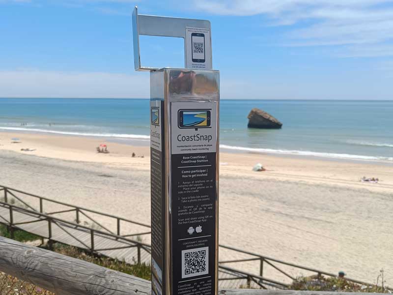
The CSIC is involved in the CoastSnap project since 2021 when the first station was installed in Castells beach, it is expanded to the Valencia coast with the installation of a CoastSnap base in Calpe beach.
Locations:
University of Seville
The University of Seville is involved in CoastSnap project since 2022 during that year the first 3 stations were installed on the coast of Huelva (#coastsnapIAntilla, #coastsnapTHiguera) and Cádiz (#coastsnapBarrosa) in the framework of the research project INDALO Lifewatch-ERIC (funded by ERDF Spain, Andalusia). In 2024, with support of the research project CoastNET_PCM0009 (Plan Complementario Ciencias Marinas), two more stations (#coastsnapPortil and #coastsnapRedes) were installed on the Andalusian coast. All the stations have been developed and installed with the support of city councils and Environmental Territorial Delegations. The scientific responsible of the station is the GIS and Coast Research Group (RNM-177), belonging to the Faculty of Geography and History.
Locations:
University of Las Palmas de Gran Canaria
Las Palmas de Gran Canaria University (ULPGC) was founded in 1989. A few years later, the university stood out among Spanish universities in tourism, oceanography, vet, and public health research. ULPGC is distributed on six campuses: four of them in Gran Canaria, one in Fuerteventura, and the last one in Lanzarote. 43 degrees, 25 masters degrees plus 80 other university courses are been teaching nowadays. More than 1500 faculty and researchers are part of the staff, they are distributed into 118 research groups and 11 research institutes. Responsible researchers of Coastsnap Las Palmas are affiliated with the Oceanography and Global Change Institute (IOCAG), which arises to structure and coordinate a number of consolidated and interdisciplinary research groups at the University of Las Palmas de Gran Canaria. It is intended to assess the ocean's role in Climate Change while investigating how this change affects the planet in the singular marine and coastal ecosystems.
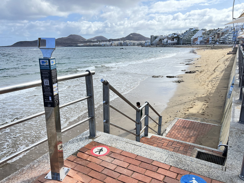
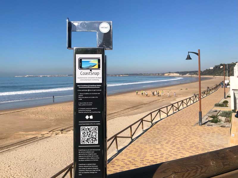
Las Palmas de Gran Canaria CoastSnap station was installed in May 2023 at Las Canteras Beach. It is an urban beach that has been showing the last years an erosive trend.
Locations: