What is CoastSnap?
CoastSnap is a low-cost community beach monitoring technology that turns phones into powerful coastal monitoring devices. At any given time of any given day, somebody somewhere is taking a photo with their phone of a beach and uploading it to the internet.
The aim of CoastSnap is to harness this incredible amount of information into something that can be used by coastal communities to understand how coastlines change through time – whether it be due to rising sea levels, extreme storms or other factors.
Ultimately, this information can be used to improve the way your coastline is managed into the future.
Humble Beginnings
CoastSnap was founded in 2017 as a pilot project between the UNSW Water Research Laboratory and the NSW Department of Planning, Industry and Environment. The pilot project conststed of two CoastSnap stations installed on the Northern Beaches of Sydney (Australia). The very first station was installed at Manly Beach on the 17 May, 2017 and the second station at North Narrabeen on the 23 May, 2017. The aim of the pilot project was to develop algorithms to map shoreline change from community images.
The results of this were written up in the Coastal Engineering journal:
Harley, M.D., Kinsela, M.A., Sanchez-Garcia, E. and Vos, K. (2019) Shoreline change mapping using crowd-sourced smartphone images, Coastal Engineering, Vol. 150, 175-189, https://doi.org/10.1016/j.coastaleng.2019.04.003
How can CoastSnap be used?
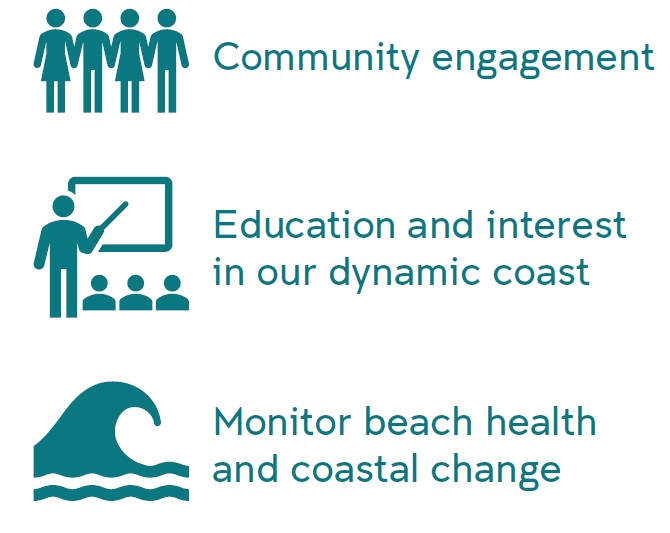
By involving the community in the data collection process, CoastSnap provides a Council with the unique opportunity to educate anyone interested in learning about dynamic coastlines, at the same time as obtaining high-quality coastal monitoring information.
Our innovative photo-point cradles and image processing turn phones into precision beach monitoring tools. Over time your community will build an accurate record of how beaches erode and recover with varying ocean conditions, making CoastSnap community shoreline mapping similar in accuracy to professional surveys using expensive GPS equipment.