BECOME A BEACH SCIENTIST
Download the CoastSnap App and get snapping

For a general overview of the CoastSnap project, please refer to the following publication that was published in a special issue on community outreach initiatives in the scientific journal Continental Shelf Research:
For more specific technical details about how CoastSnap images can be used by scientists and engineers to map shoreline change, please refer to:
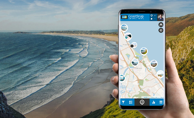
Download the App on your smartphone now or open the map in your browser:
